This article describes our visit to El Malpais National Monument in New Mexico where we spent the day hiking and exploring through the lava fields and lava tubes of this amazing area.
Overview
Tucked away in the rugged high desert of western New Mexico lies a surreal and dramatic landscape known as El Malpais National Monument. Pronounced el mal-pie-ees, this name translates from Spanish as “the badlands,” a fitting description for a place where ancient lava flows stretch for miles, dotted with craters, caves, cinder cones and towering sandstone bluffs.
Spanning over 350,000 acres, El Malpais preserves one of the most extensive and diverse volcanic fields in the continental U.S. Lava flows here range from 3,000 to 700,000 years old, creating a jumbled, black-rock terrain that looks almost alien. In contrast, sandstone cliffs rise dramatically on the monument’s eastern edge, offering breathtaking vistas and shelter for ancient civilizations.
El Malpais is accessible year-round, but the best times to explore are spring (April–May) and fall (September–October) when temperatures are moderate. Summer can be extremely hot, especially on exposed lava fields, while winter offers fewer crowds but can be chilly and icy in higher elevations or caves.
Getting There
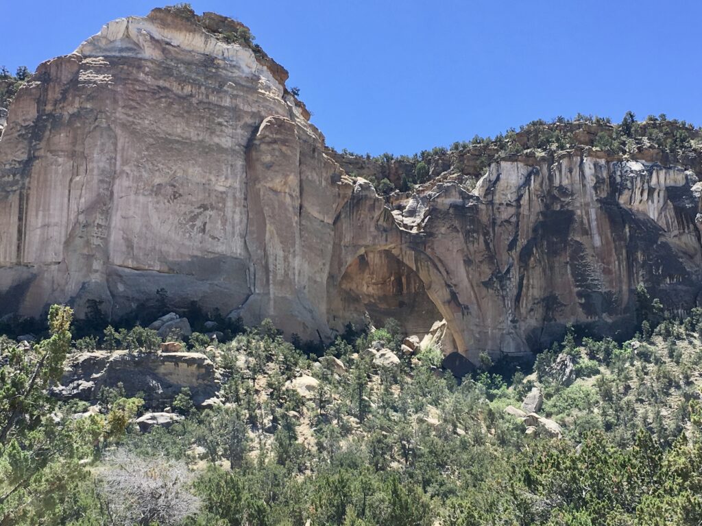
El Malpais National Monument is just south of the towns of Grants, San Rafael and Mt. Taylor, which all lie along a stretch of Interstate 40 and Route 40 (McBride Road), that also happens to be part of the historic Route 66. We started our day by heading south on Route 117 (El Maipais Road), passing Las Ventanas Ridge and the El Malpais National Monument Sign, stopping at Sandstone Bluffs to explore, take a photo of the arch and use the restrooms.
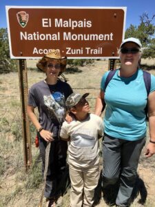
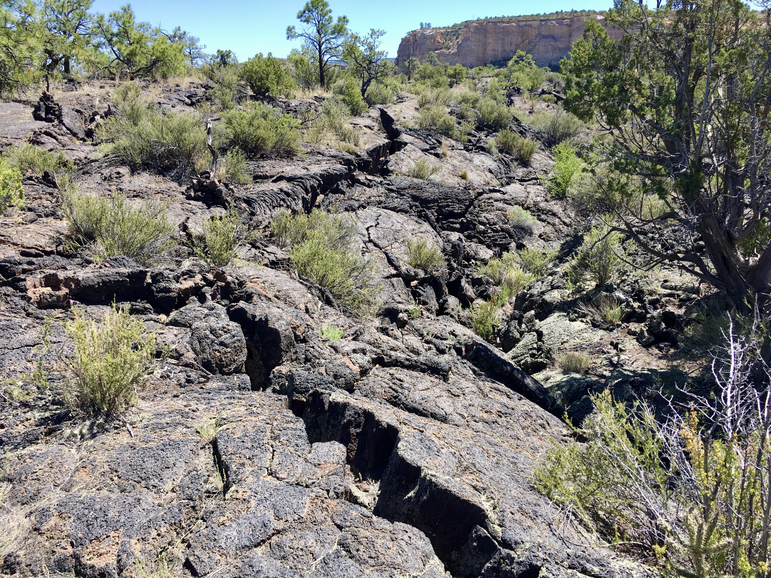
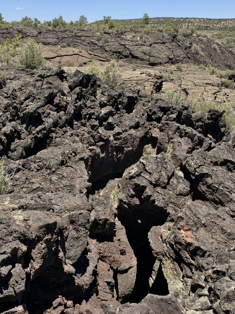
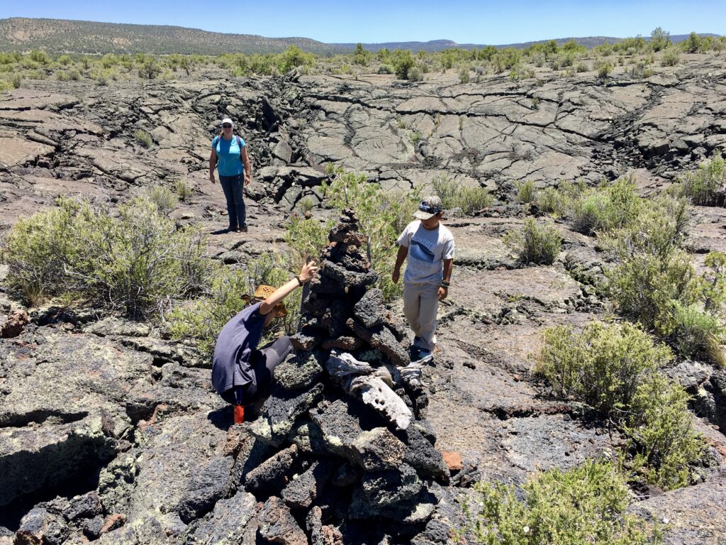
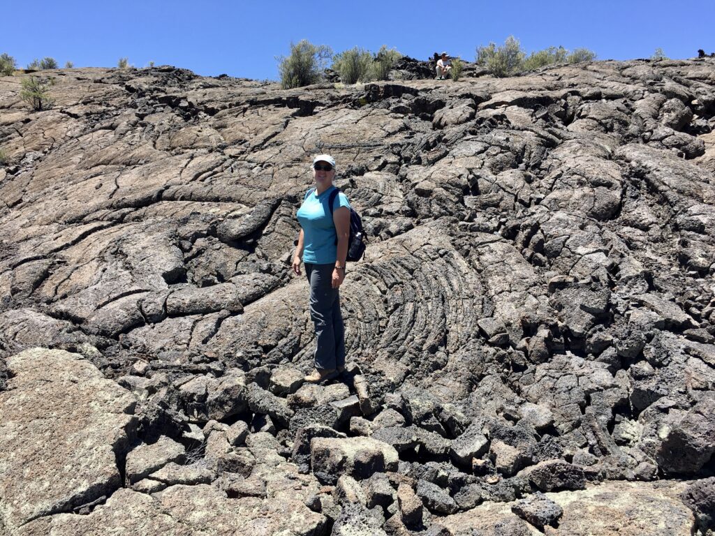
Next, we stoped at the Acoma-Zuni Trailhead to explore the lava fields for a bit. This trail is 7.5 miles (12 km) long one way and follows a traditional Native American trade route across the vast lava field. Cairns (rock piles) mark the route. The lava rock is quite sharp so sturdy walking shoes or hiking boots are recommended. We hiked out a ways into the lava field to explore, but soon turned back as we had more areas to explore.
We continued making our way down to the Lava Falls Trailhead near the southern edge of the monument. This area of the lava field, known as the Zuni-Bandera Volcanic Field is vast with miles and miles of jagged and broken up black rock interspersed with small trees, shrubs and cactus plants. When you are out in the lava fields it is easy to get lost and mobile phone coverage is inconsistent so we made sure not to wonder too far off the marked trails. We had also packed plenty of water, snacks and lunch since we had planned on being out all day.
Hiking the Lava Falls Trail
The Lava Falls Trail is a 1 mile (1.6 km) loop with a short spur trail leading into a natural amphitheater of lava. The trail is marked with cairns (rock piles) and the next cairn should be visible from the previous one so that you don’t get lost.
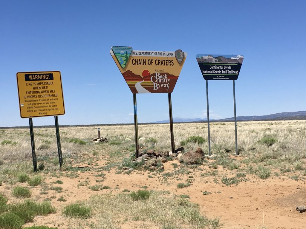
Driving the Scenic County Road 42
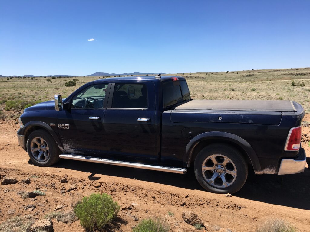
After completing our Lava Falls hike we continued south-west on Route 117 (El Maipais Road) to the junction of County Road 42. We turned right and drove north-west on County Road 42 through rustic high desert farm land and wilderness areas.
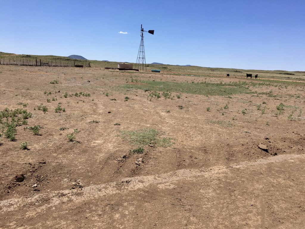
We would occasionally see an RV or two camping on a dirt side road or a few cows gathered near a wind powered watering hole, but did not see any other vehicles driving around. Although the scenery on this stretch of the drive was not spectacular it was still a very pleasant scenic drive that gave you a real sense of being in the wide open spaces of the American southwest.
The weather had been good, the dirt road was fine and we made decent time. Since the weather had been dry for a while the road conditions were great and passible by any type of vehicle. However, the park rangers always suggest that you check with them before attempting County Road 42 as they have had to help retrieve many vehicles over the years that got stuck in very muddy conditions.
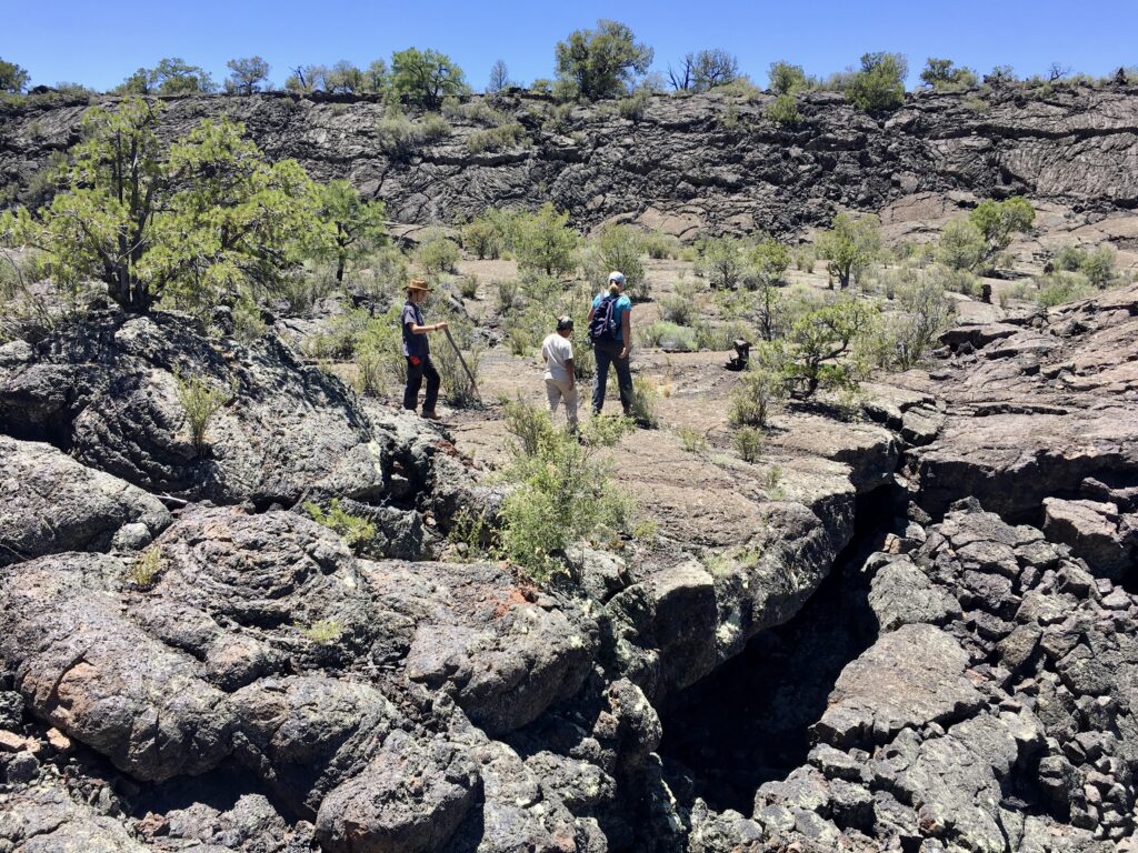
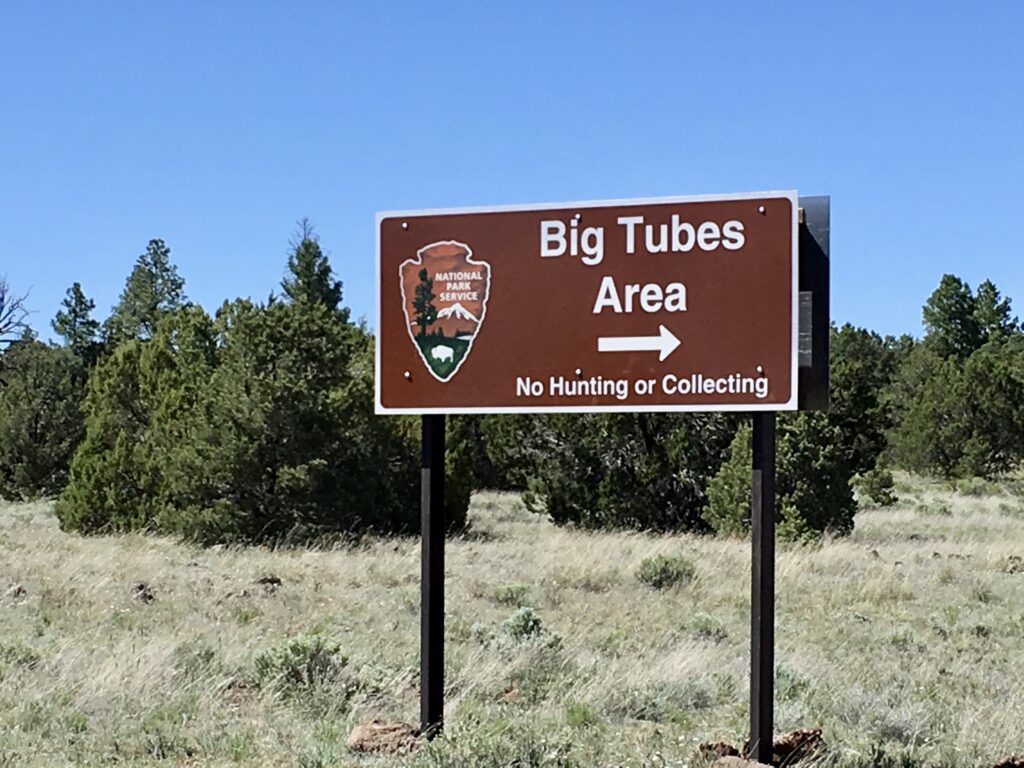
Exploring the Big Tubes Area
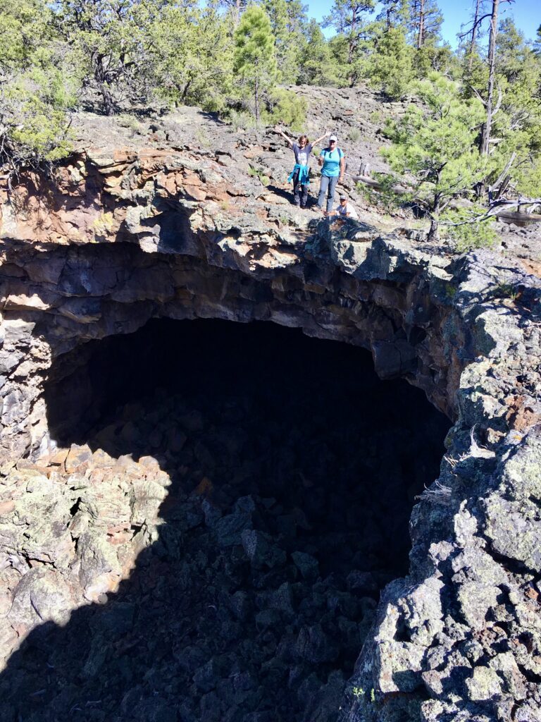
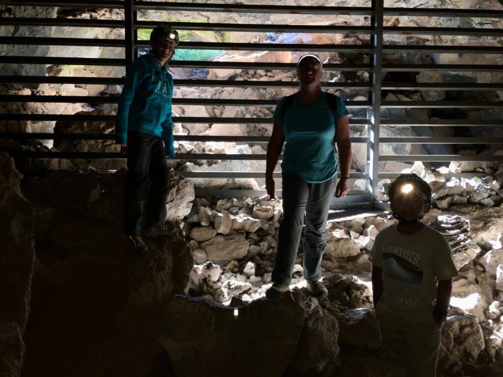
We finally made it to the Big Tubes Area of El Maipais National Monument. El Malpais is home to dozens of lava tube caves, created when molten lava carved out underground passages. Some are accessible to adventurous visitors, including Junction Cave, Four Windows Cave and Big Skylight Cave. You’ll need a free permit, a helmet and at least two light sources to explore safely.
We started hiking down to where the lava tubes were until we came across the sign below and had to decide which lava tubes we wanted to see as it was getting late in the day and we didn’t have the time or the energy to explore in both directions. We ended up heading toward Big Skylight Cave and Caterpillar Collapse and hoped that they were not too far from this intersection.
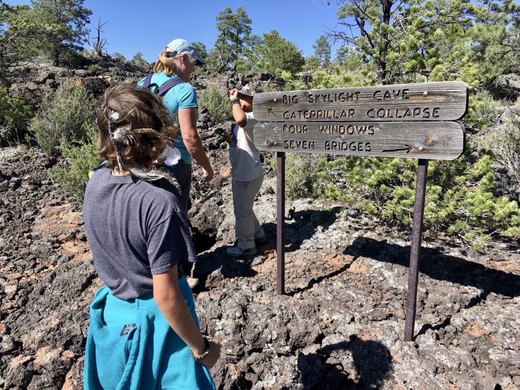
We made it to Caterpillar Collapse, but could not fine Big Skylight Cave and could not find a way down into the collapsed lava tube so we turned around and headed back.
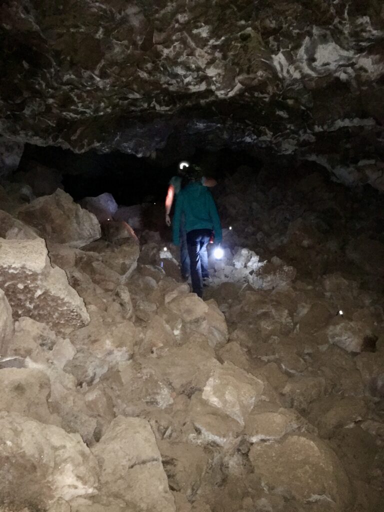
The last place we stopped was a small lava tube that you could explore. We made the kids ware their bicycle helmets and we all head small head lamps. This lava tube got smaller and tighter the further we went into it until we could not go any further. A pair of gloves would have been handy because we had to do some crawling and the lava rock is jagged and sharp.
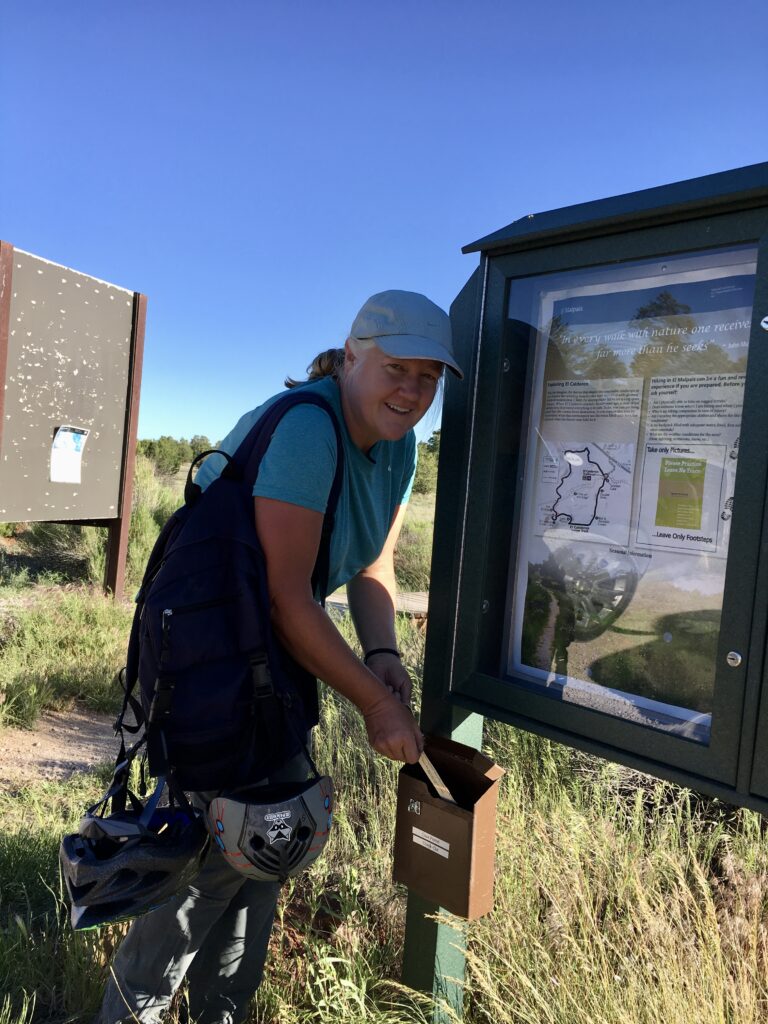
We spent about a half hour here then turned in our free lava tube permits at the drop box before heading back our campsite near Grants taking County Road 42 north to Route 53 (Ice Caves Road), which is paved, then heading northeast through San Rafael and finally to Grants. The reason the rangers require a lave tube permit is because they know how many permits they issue each day and count how many were returned each evening. If the numbers don’t match they will assume that a group is stuck or lost in or near the lava tube or tubes listed on the permit and they’ll come looking for you.
Conclusion
Wow! What an amazing day and an amazing place to visit. We could have easily spent 1 or 2 more days here as there were a number of sites that we didn’t get to see and explore. Whether you’re crawling through ancient lava tubes, gazing up at sandstone arches or simply standing still under the wide desert sky, El Malpais offers a rare chance to connect with nature in its most primal form.
Related USATourist Articles
Exploring the Sandstone Bluffs of El Malpais National Monument, New Mexico